North Coast 500 poster
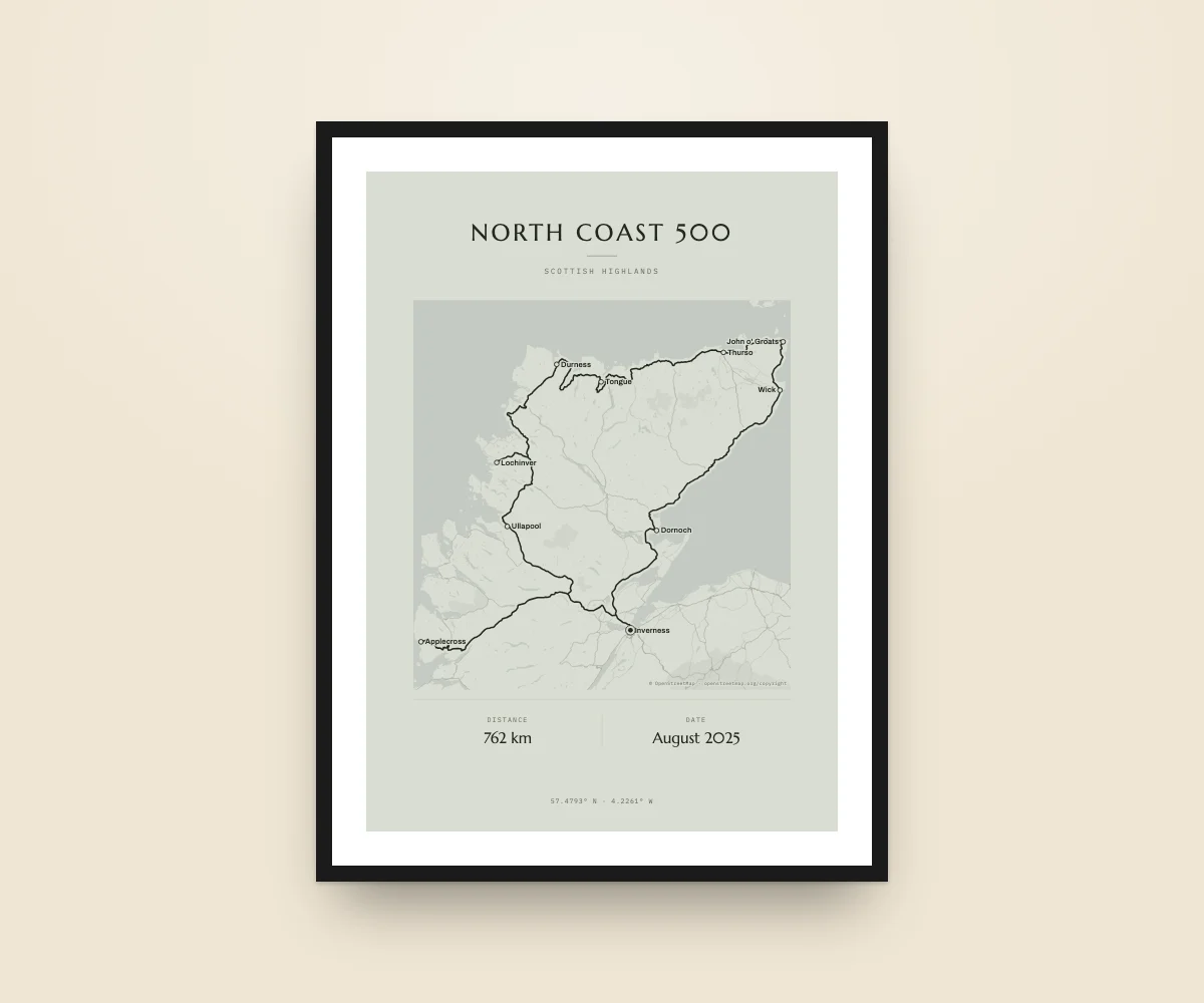
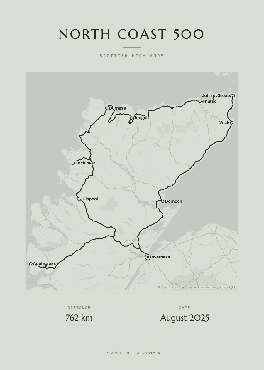
The great loop of the Scottish Highlands on the real map, from Inverness to Inverness along the west coast, the north and the east, with the stops of your trip.
- Route
- Inverness → Inverness
- Distance
- about 762 km
- Stops
- 11 examples, change them
- Format
- Instant PDF · €15.90
What’s on your poster
The trip, on the real map
OpenStreetMap roads, rivers and coastline under the route, in the poster’s colours.
Your stops
Search each place by name and the line follows the real roads. Or upload the trip’s GPX.
Dates and names
The title, the dates of the trip and who did it, set like a designer print.
Instant PDF
Vector: prints sharp at any size, from 30 × 40 to 70 × 100 cm.
The example route
The North Coast 500 leaves Inverness for the west coast, climbs the Bealach na Bà pass to Applecross, carries on through Ullapool and Lochinver to Durness, crosses the north coast to John o’ Groats and comes back down the east coast. Swap the stops for yours or upload the trip’s GPX.
- Inverness
- Applecross
- Ullapool
- Lochinver
- Durness
- Tongue
- Thurso
- John o' Groats
- Wick
- Dornoch
- Inverness
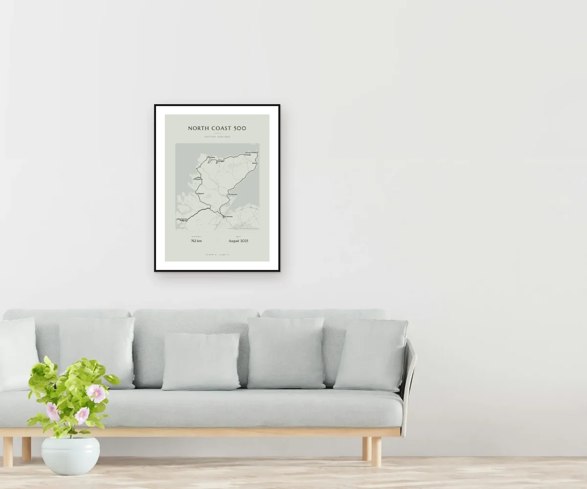
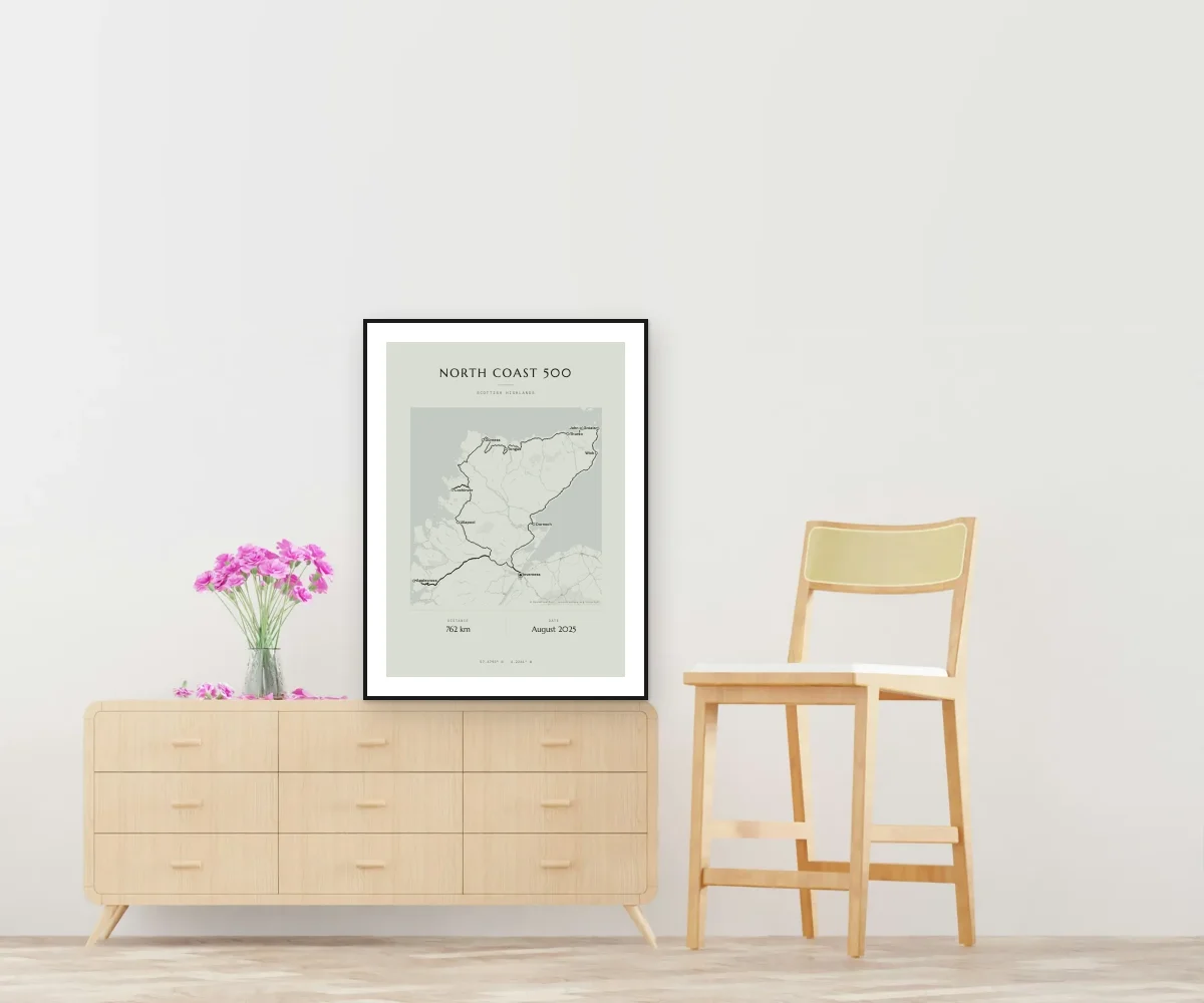
How it looks at home
How it works
Open the example
The designer opens with this route already drawn and its stops.
Change the stops
Search each place by name, put them in order and add a moment and a date. Or upload your GPX.
Get it
The PDF lands in your inbox as soon as you pay, ready to print.
Questions
Do I have to follow this exact route?
No. It’s an example: in the designer you remove, add or reorder the stops and the route is recalculated along the roads instantly.
Can I upload the GPX of my trip?
Yes. If you recorded it with Komoot, Wikiloc or a GPS, upload the GPX; from Polarsteps, its locations.json file works. We draw the exact route, even across several days.
What if some legs were by boat or plane?
Choose “Straight line” to join those stops with an arc, like a flight.
When do I get it?
The PDF lands in your inbox as soon as payment is confirmed, for €15.90. Printed posters are coming very soon.
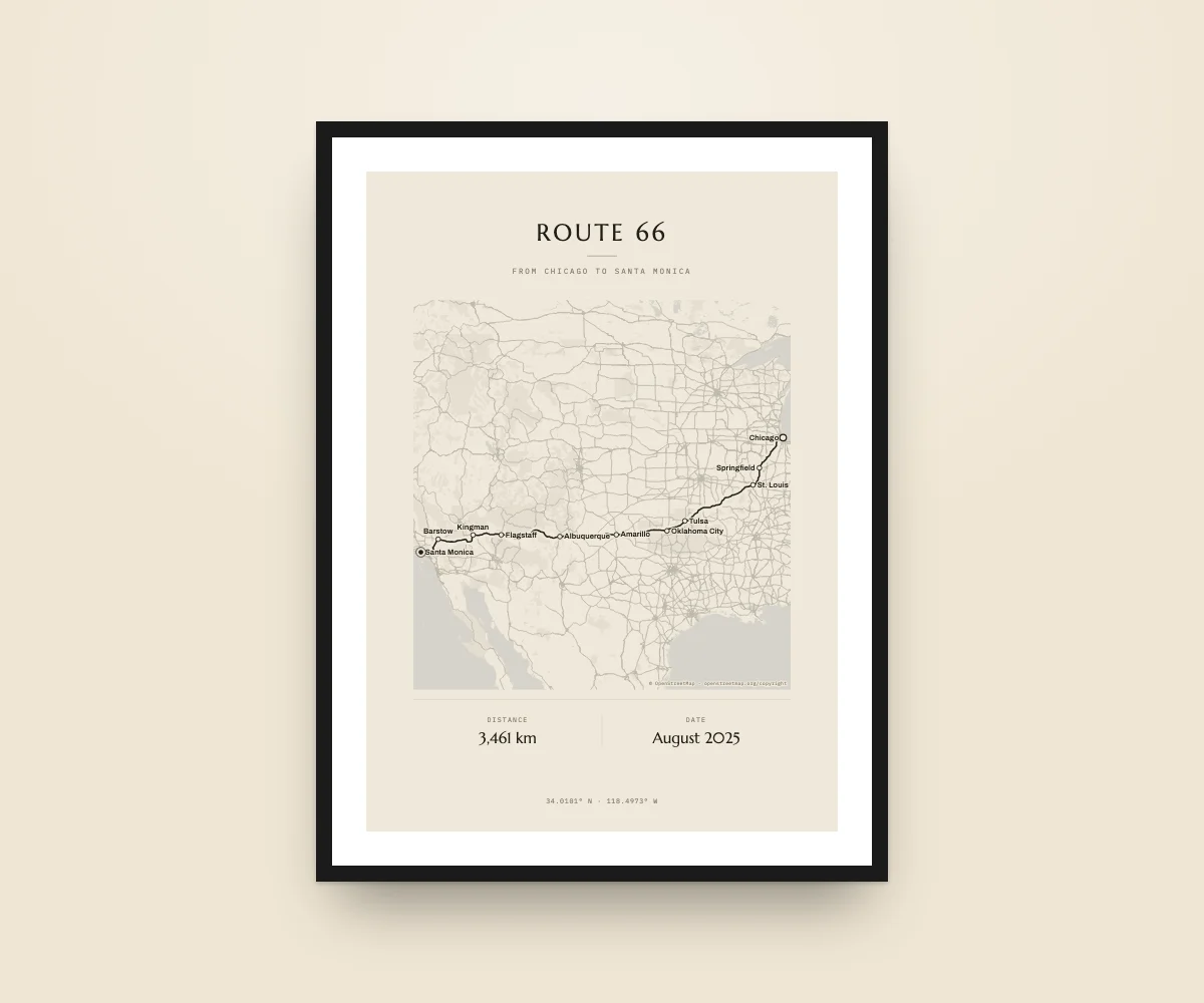
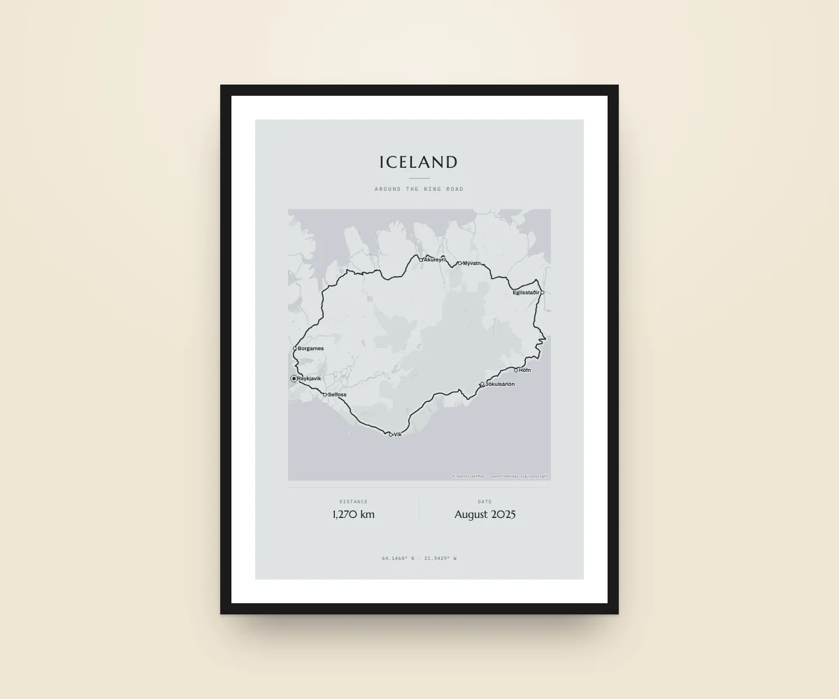
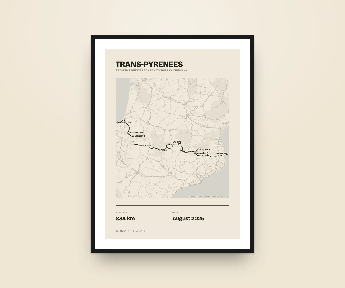
North Coast 500, on your wall
Design it in a minute and get it as a PDF straight away.
Example route drawn on OpenStreetMap from its stops; swap it for yours. Route names are used only to describe them: KM Poster is not affiliated with their owners. Map data © OpenStreetMap · openstreetmap.org/copyright.