Tour du Mont Blanc poster
The walk around Mont Blanc on the real map: three countries, passes and valleys in a single loop, with the dates of your trek and your name. Instant PDF.
- Route
- Chamonix → Chamonix
- Distance
- about 166 km
- Stops
- 8 examples, change them
- Format
- Instant PDF · €15.90
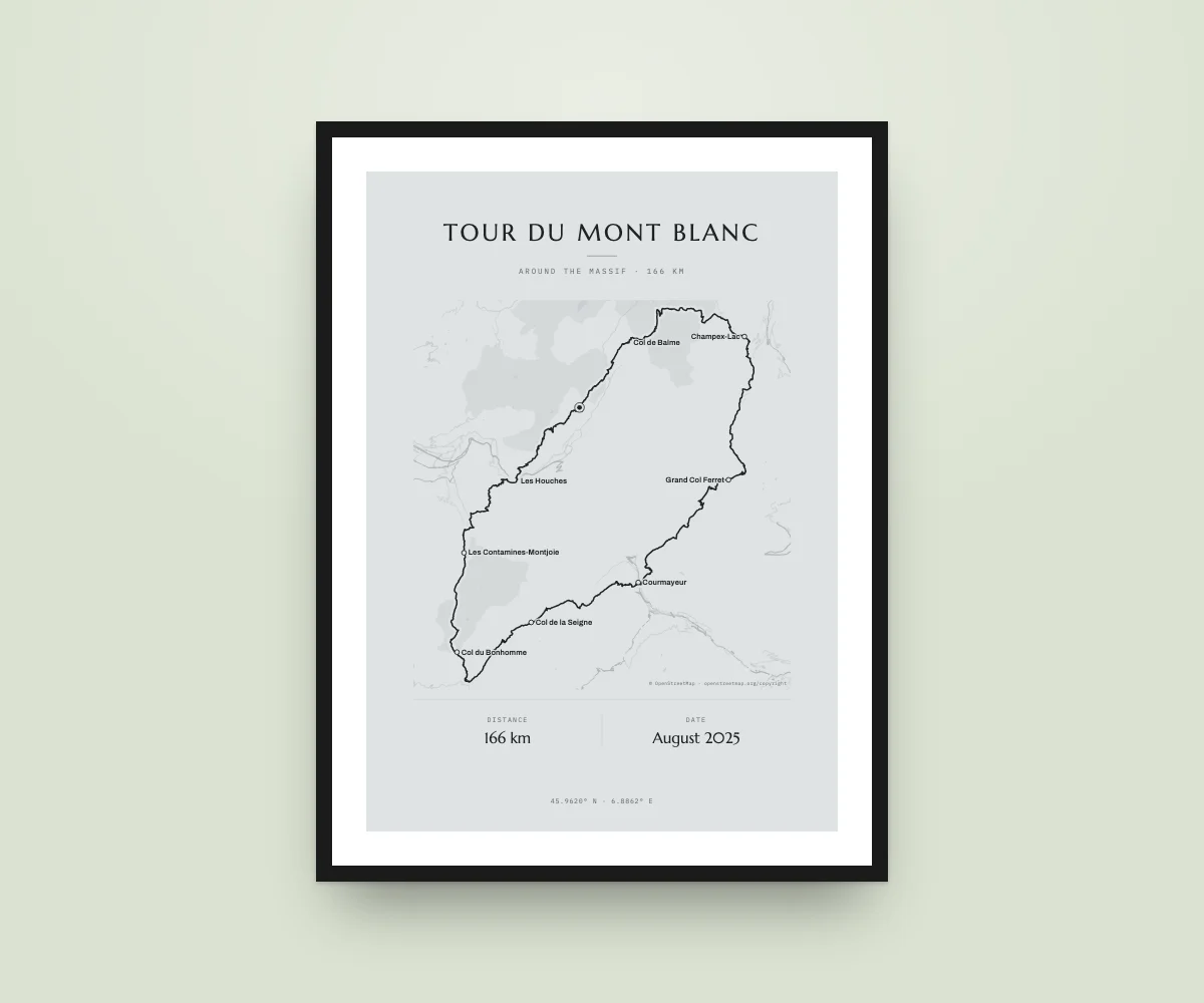
What’s on your poster
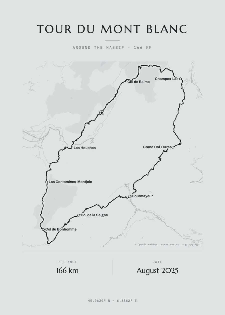
The trek, on the real map
The OpenStreetMap trail, with mountains, valleys and coast under the route, in the poster’s colours.
Your stages and your huts
Search each place by name or upload the GPX from your watch, Wikiloc or Komoot: we draw your exact route.
Dates and name
The title, the days of your trek and who walked it, set like a designer print.
Instant PDF
Vector: prints sharp at any size, from 30 × 40 to 70 × 100 cm.
The example route
The Tour du Mont Blanc circles the massif anticlockwise: it leaves the Chamonix valley, passes Les Houches and Les Contamines, crosses the Col du Bonhomme and the Col de la Seigne into Italy, drops to Courmayeur, enters Switzerland over the Grand Col Ferret and Champex-Lac and returns to France over the Col de Balme. It is about 170 km, usually walked in 9 to 14 days. If you did it, swap the stops for your refuges or upload the GPX of your stages.
- Les Houches
- Les Contamines-Montjoie
- Col du Bonhomme
- Col de la Seigne
- Courmayeur
- Grand Col Ferret
- Champex-Lac
- Col de Balme
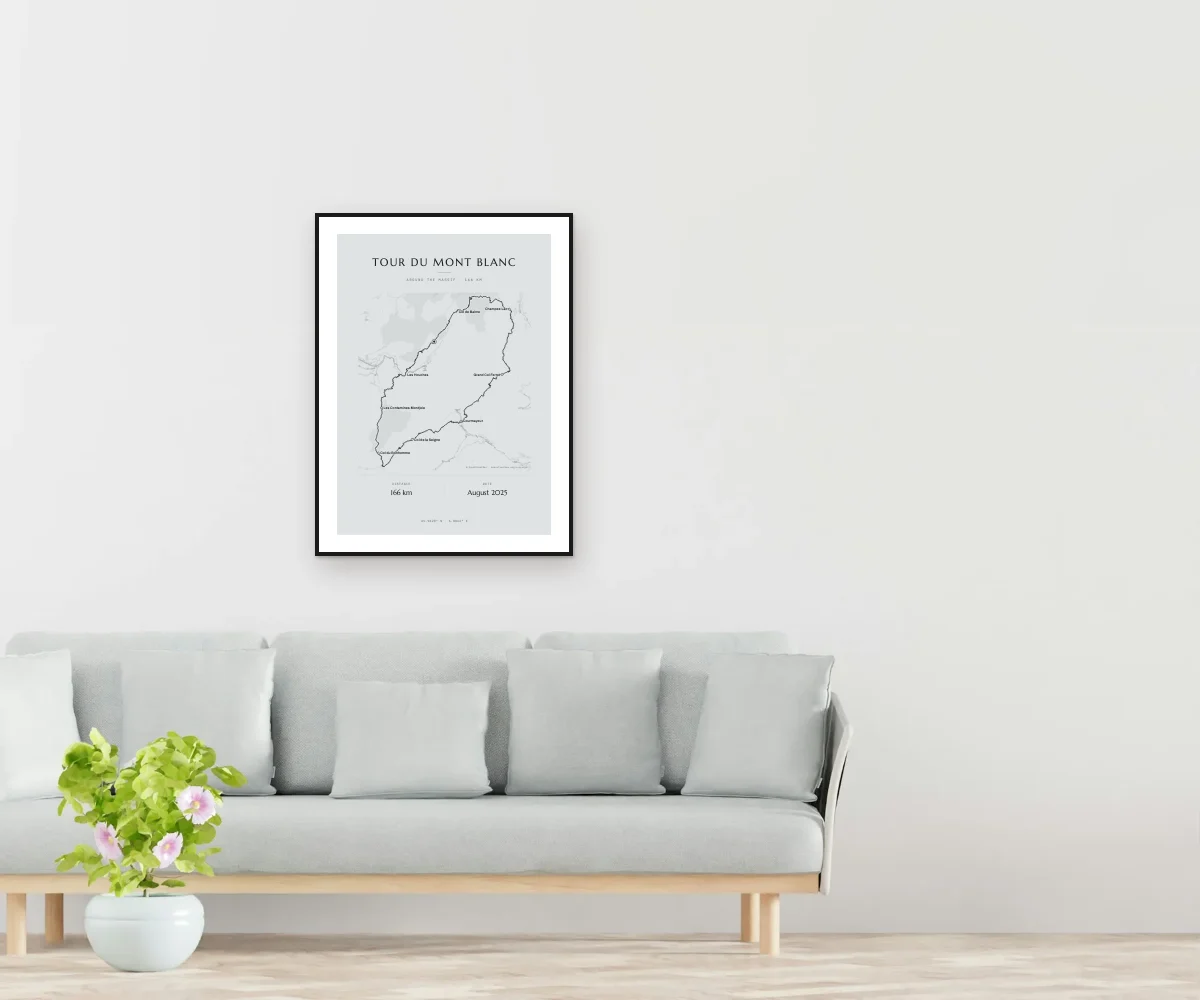
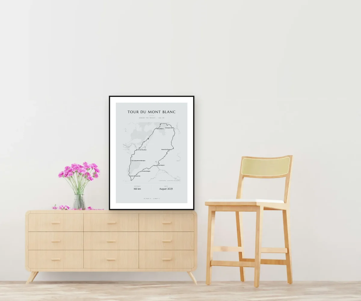
How it looks at home
How it works
Open the example
The designer opens with this route already drawn and its stops.
Change the stops
Search each place by name, put them in order and add a moment and a date. Or upload your GPX.
Get it
The PDF lands in your inbox as soon as you pay, ready to print.
Questions
Do I have to have done exactly this route?
No. It is the full trail as an example: in the designer you swap the stops for your stages or upload your GPX and the poster becomes yours.
Can I upload the GPX of my stages?
Yes. Garmin, Suunto, Komoot, Wikiloc and Strava export GPX; if it was several days, upload them together and we join them.
Does it show the elevation?
Yes, in the formats that have a profile: we work it out from your GPX. We don’t show it on the example poster because every guide gives a different figure.
When do I get it?
The PDF lands in your inbox as soon as payment is confirmed, for €15.90.
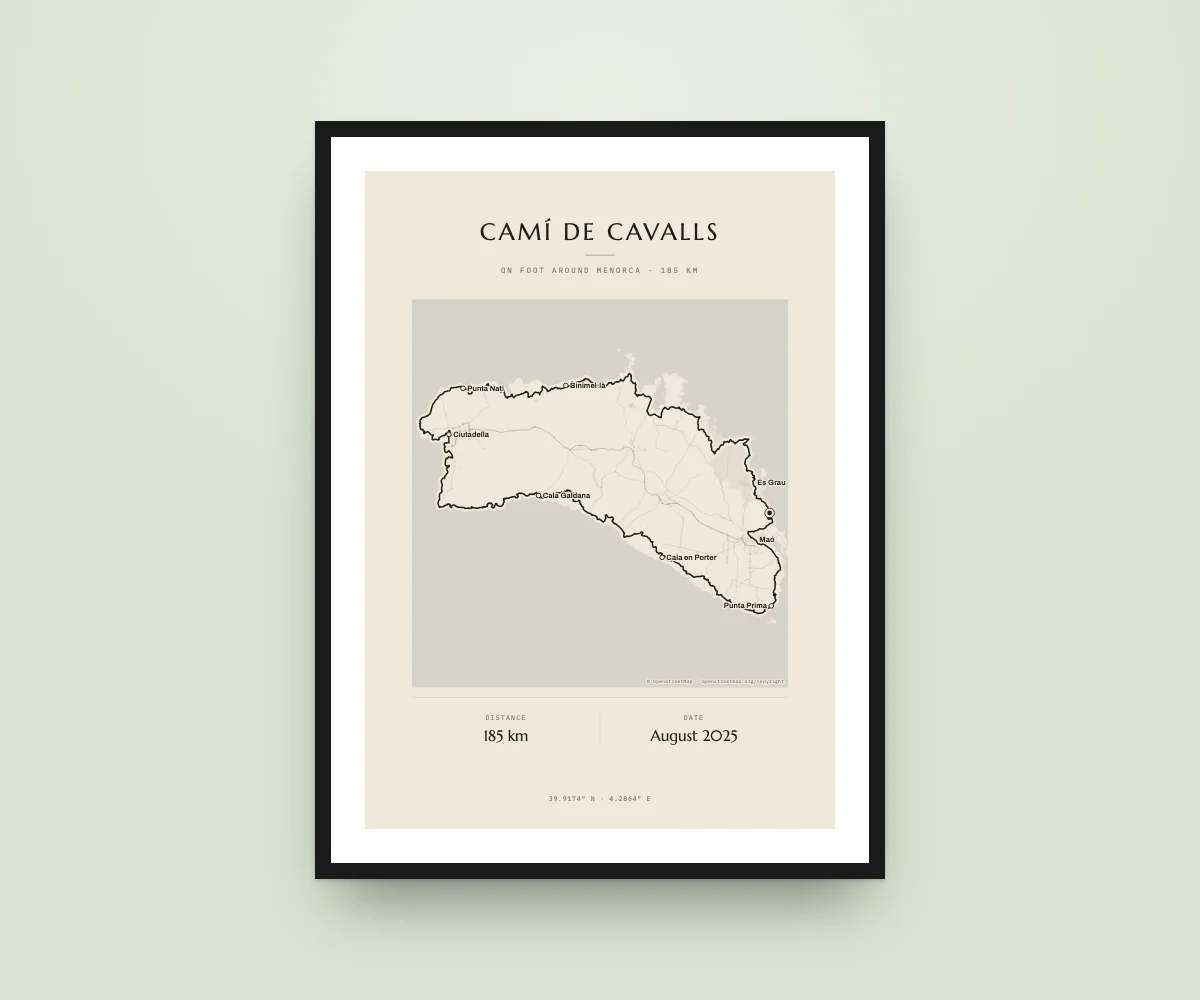
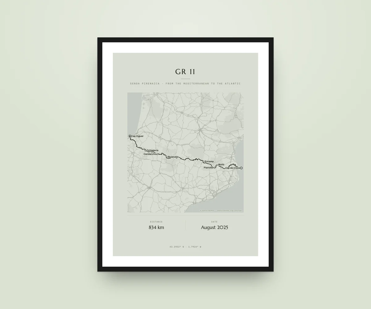
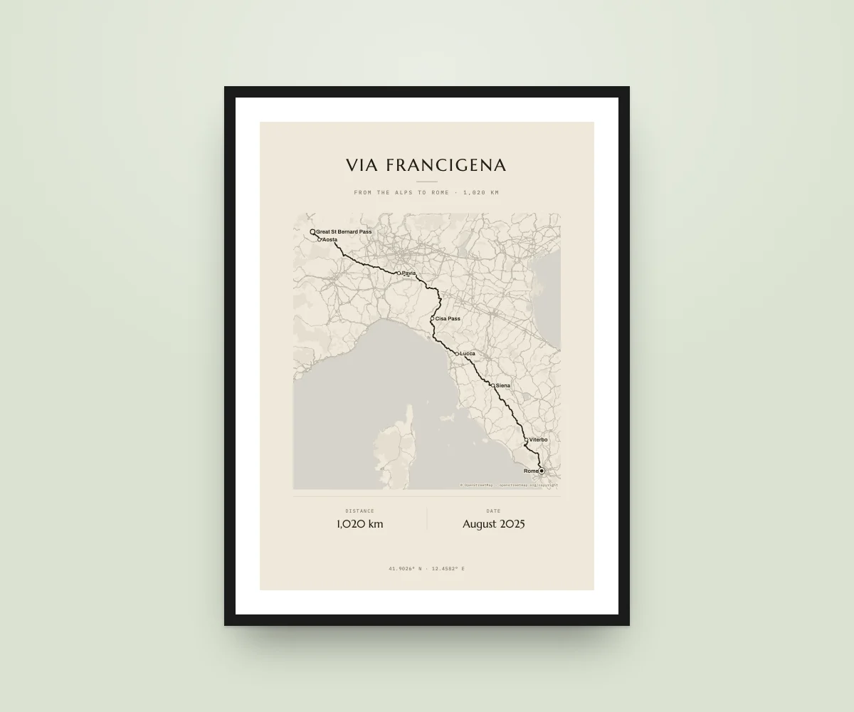
Tour du Mont Blanc, on your wall
Design it in a minute and get it as a PDF straight away.
Example route drawn on OpenStreetMap; swap it for yours. Route names are used only to describe them: KM Poster is not affiliated with their owners. Map data © OpenStreetMap · openstreetmap.org/copyright.