Camino Inglés poster, the perfect gift
For whoever walked the Camino Inglés: from Ferrol to Santiago on the real map, with their dates and their name. The way of the pilgrims who arrived by sea. Arrives as an instant PDF.
- Route
- Ferrol → Santiago
- Distance
- 117 km
- You personalise
- dates, name and stages
- Format
- Instant PDF · €15.90
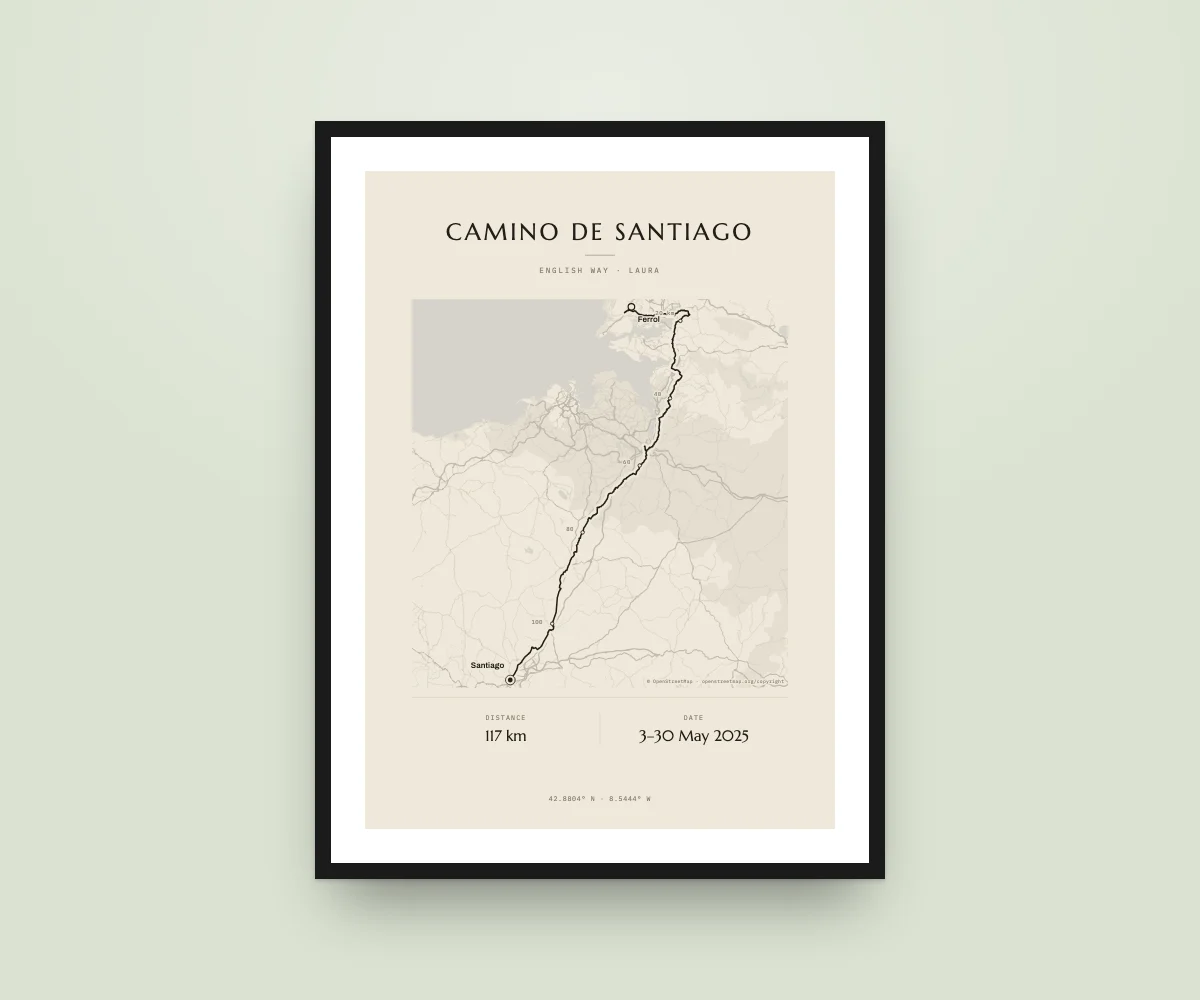
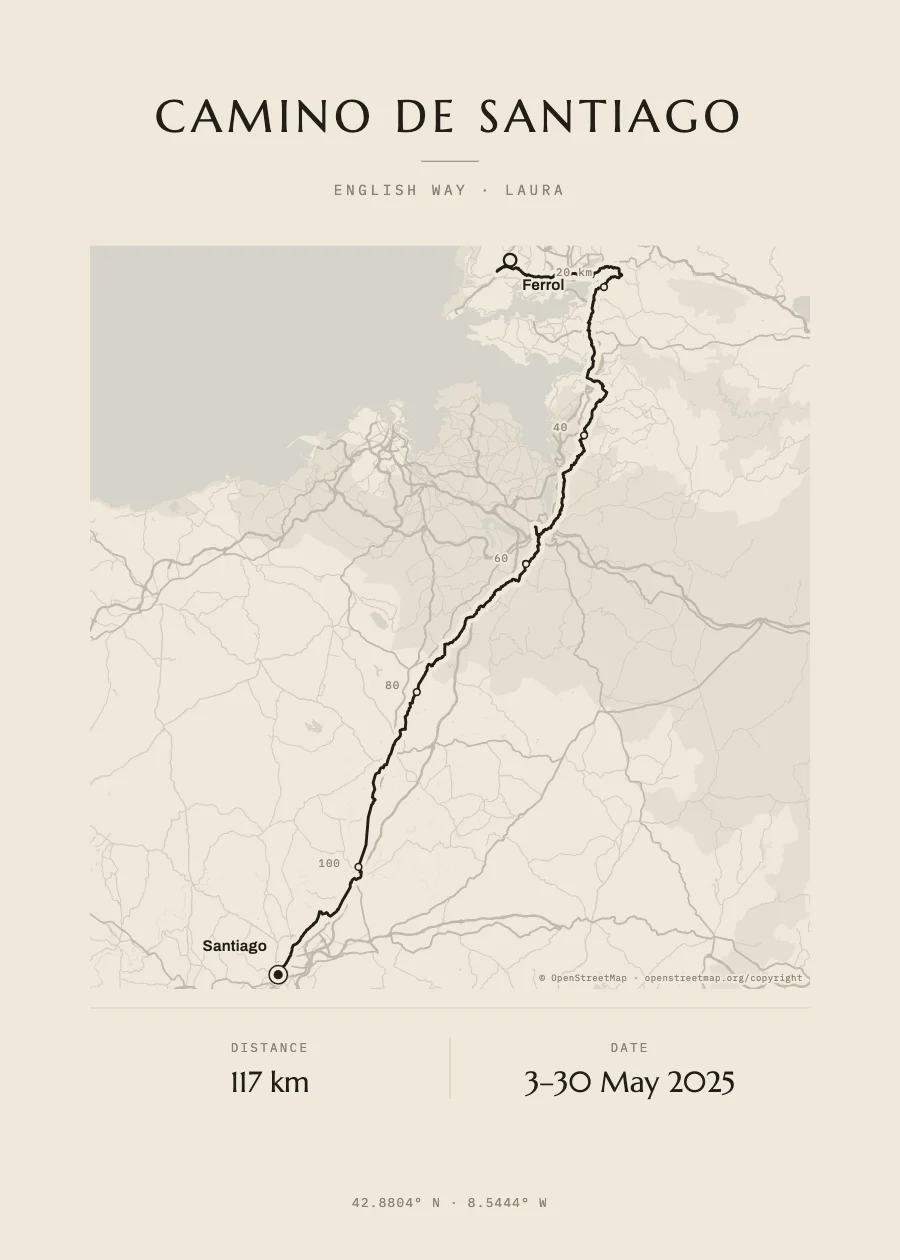
What’s on your poster
Their Camino, on the real map
OpenStreetMap streets, rivers and coastline under the route, with the profile of the passes.
Their exact stages
If they saved the route on a watch or phone, upload their GPX files and we join them into one line.
Their dates and their name
From the first to the last day, and the name of who walked it.
A last-minute gift
The PDF arrives instantly: print it wherever you like or give it digitally.
The course
It leaves the port of Ferrol, rounds the estuary at Neda, passes Pontedeume and Betanzos, climbs to Bruma and descends via Sigüeiro to Santiago: just over 100 km, enough for the Compostela. If your pilgrim started in A Coruña, upload their GPX and we draw their way.
- Ferrol (the port)
- Neda
- Pontedeume
- Betanzos
- Bruma
- Sigüeiro
- Santiago de Compostela
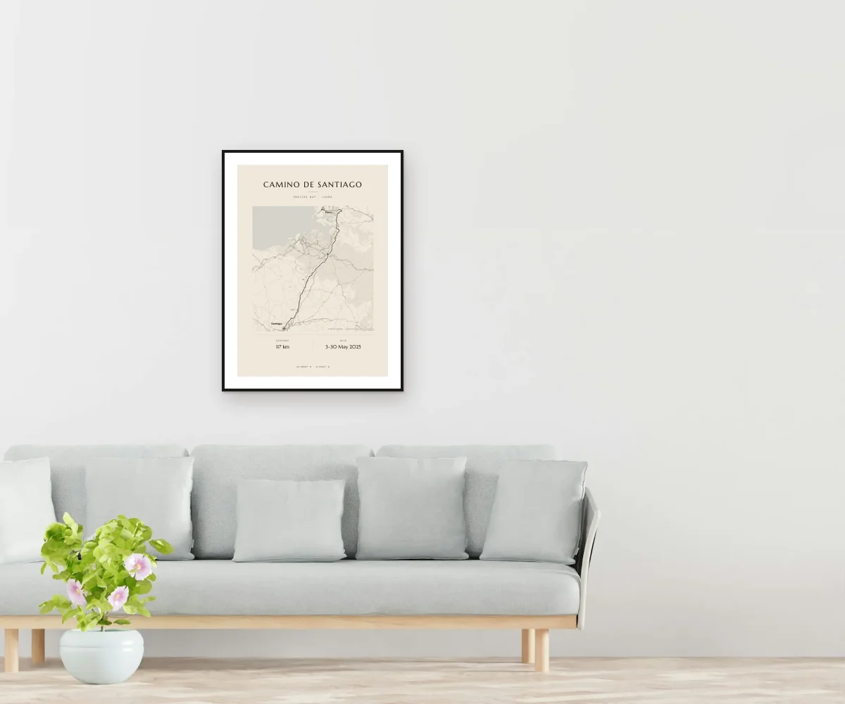
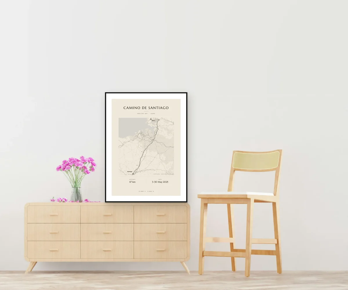
How it looks at home
How it works
Open the designer
With the Camino already drawn, or upload the GPX of their stages.
Add their details
Their name, their dates, and the background and template that suit them.
Get it
The PDF lands in your inbox as soon as you pay, ready to print.
Questions
Is it the official Camino route?
It’s the English Way route calculated on OpenStreetMap stage by stage. If you upload your pilgrim’s GPX, we draw their exact way.
When do I get it?
The PDF lands in your inbox as soon as payment is confirmed, for €15.90. Printed and framed posters are coming very soon.
What if it’s a gift and I don’t know their time?
Give a gift card: you pay and they design their own poster with their name, time and bib number. It never expires. Don’t know their dates? Give a gift card
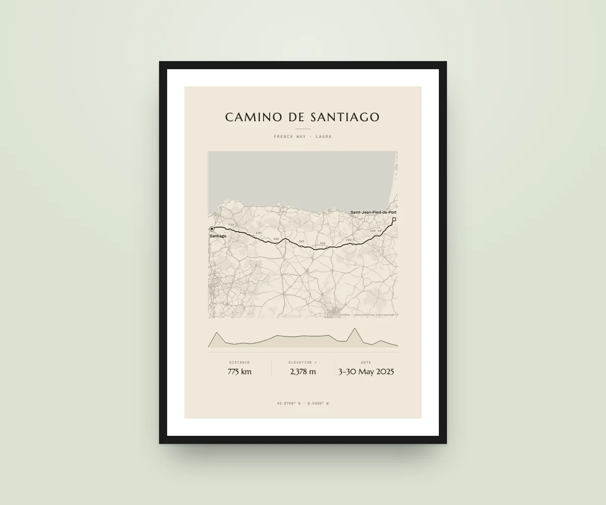
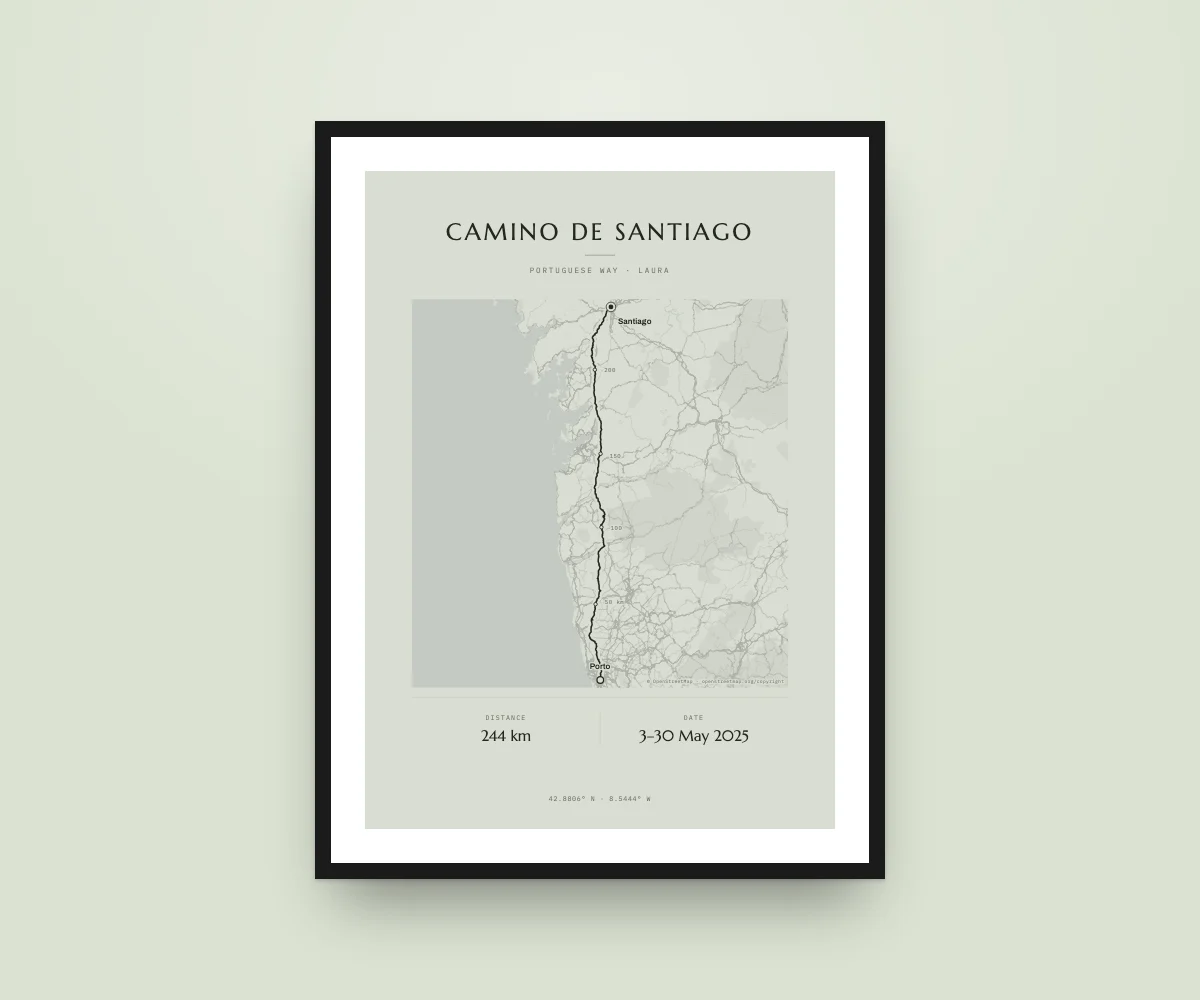
A gift for whoever made it to Santiago
Design it in a minute and get it as a PDF straight away.
Route calculated from OpenStreetMap data. Map data © OpenStreetMap · openstreetmap.org/copyright.